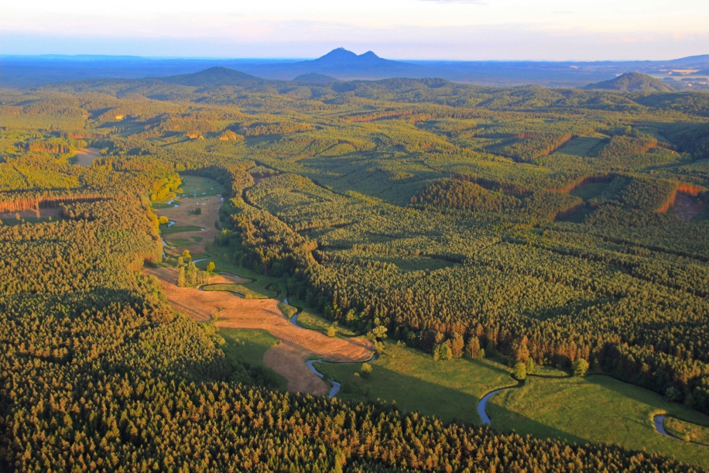
Landscape below Ralsko – paradise for cyclists
A guide to disappeared places around Ralsko
The landscape below Ralsko is ideal for trips. It is gently rolling, and offers a diversity of views into the landscape. The routes are hard-top, mostly asphalt and gravel. Join us in taking some trips along them. Come and discover the memory of the landscape with us. You'll find the remnants of villages and areas affected by troops having lived there. They have also preserved their uniqueness for more than seventy years in their undisturbed habitats. The routes suggested here lead away from the main routes and enable you to experience the unique atmosphere of this area.
Cycle route no. 1: Osečná | Ploučnice spring | Zábrdí | Náhlov ‡ | Medný farmyard † | Ostroh † | Hamr na Jezeře | Osečná | former places along the route † : Medný farmyard, Ostroh farmyard; areas affected by annexation‡: Náhlov; interesting places along the route: Ploučnice spring, Museum of Emigration to Brazil, Hamr na Jezeře

Difficulty I - easy length 23.7 km, elevation 343 m, suitable for trekking and mountain bikes
Cycle route no. 2: Hamr na Jezeře | Svébořice † | Nový Dvůr † | Pavlín Dvůr | Vranovské skály | Srní Potok | Ploučnice gorge | Hamr na Jezeře | former places along the route† : Svébořice, Nový Dvůr; areas affected by annexation‡: Pavlín Dvůr; interesting places along the route: Vranovské skály, Ploučnice gorge

Difficulty I - easy, length 25.5 km, elevation 295 m, suitable for trekking and mountain bikes
Cycle route no. 3: Náhlov (museum) | Medný farmyard †| Čertova jáma | Čertova stěna | Cetenov (Pinka) | Dolánky | Dehtáry (outdoor swimming pool) | Pod Jelínkou spring | Čertova zeď | Kotel linden trees | Zábrdí | Vlachové | Náhlov ‡ former places along the route† : Medný farmyard; areas affected by annexation‡: Náhlov; interesting places along the route: Čertova stěna, Pod Jelínkou spring, Čertova zeď, Kotel linden trees, Museum of Emigration to Brazil (Náhlov)


Difficulty II - medium, length 23.6 km, elevation 462 m, suitable for trekking and mountain bikes
Cycle route no. 4: Dolní Bukovina (outdoor swimming pool) | Podvicmanosvký mlýn | Strážiště | Zourovský mlýn† | Křída † | Olšina † | Kracmanovská křižovatka | Jabloneček † | Dolní Bukovina | former places along the route† : Zourovský mlýn, Křída, Olšina, Jabloneček; interesting places along the route: Podvicmanosvký mlýn, Land-art works in Jablonečko

Difficulty II - medium, length 29.1 km, elevation 511 m, suitable for trekking and mountain bikes

Cycle route no. 5: Chrastná - (outdoor swimming pool) | Holičky † | Česká Novina † | Zábělce † | Těšnov | Náhlov ‡ | Medný farmyard † | Černá Novina † | Chrastná | former places along the route†: Holičky, Česká Novina, Zábělce, Medný farmyard, Černá Novina; interesting places along the route: Museum of Emigration to Brazil (Náhlov)

Difficulty II - medium, length 23.4 km, elevation 509 m, suitable for trekking and mountain bikes
Cycle route no. 6: Hvězdov‡ (refreshments) | Nový Dvůr† | Svébořice† | Česká Novina† | samota Krby† | Křída† | Olšina† | Kracmanovská křižovatka | Dolní Okna† | Hvězdov former places along the route† : Nový Dvůr, Svébořice, Česká Novina, samota Krby, Křída, Olšina, Dolní Okna (Poustka); areas affected by annexation‡: Hvězdov


Difficulty I - easy, length 24.4 km, elevation 338 m, suitable for trekking and mountain bikes
Cycle route no. 7: Kuřívody - Kracmanovská křiž.† | Olšina † | Křída † (upper part) | Kostřice † | Proseč † | Jabloneček † | Chlum † | Prosíčka † | Horní Krupá † | Kuřívody


Difficulty II - medium (steep exits and descents) length 27.1 km, elevation 384 m, suitable for trekking and mountain bikes
Cycle route no. 8: Mimoň (municipal museum), Chapel of the Holy Sepulcher) | Hvězdov‡ | Skelná Huť ‡ | Hvězdov ‡ | Novodvorské rybníky ponds | Nový Dvůr † | Mimoň

Difficulty II - medium, length 23.1 km, elevation 230 m, suitable for trekking and mountain bikes


